Infinity Engineering is a dynamic, multi-discipline engineering consulting firm comprising of civil, structural, mechanical, and electrical capabilities, as well as advanced measurements services. This multi-discipline approach allows Infinity’s engineers to produce designs in open collaboration from project inception through completion.
Laser Scanning
Quick and Efficient Data Collection
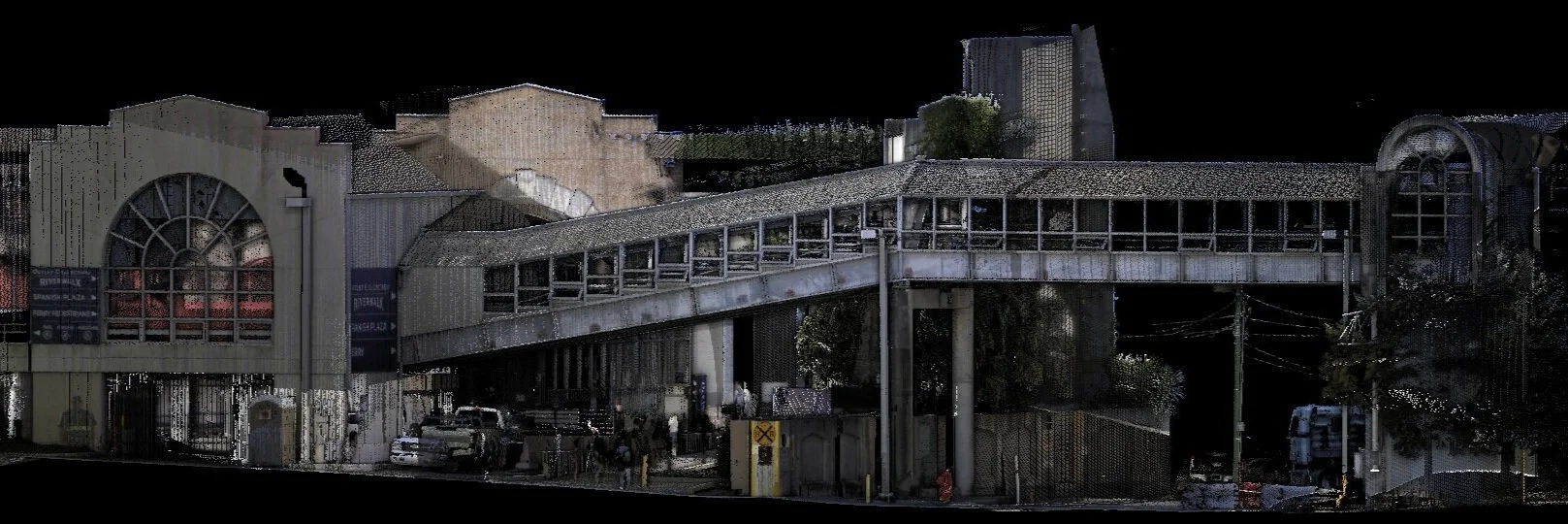
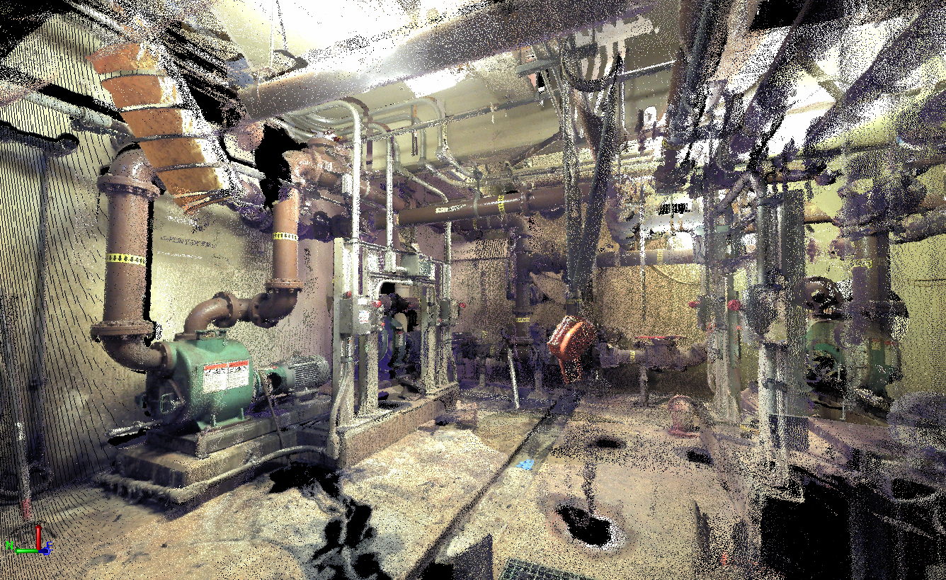
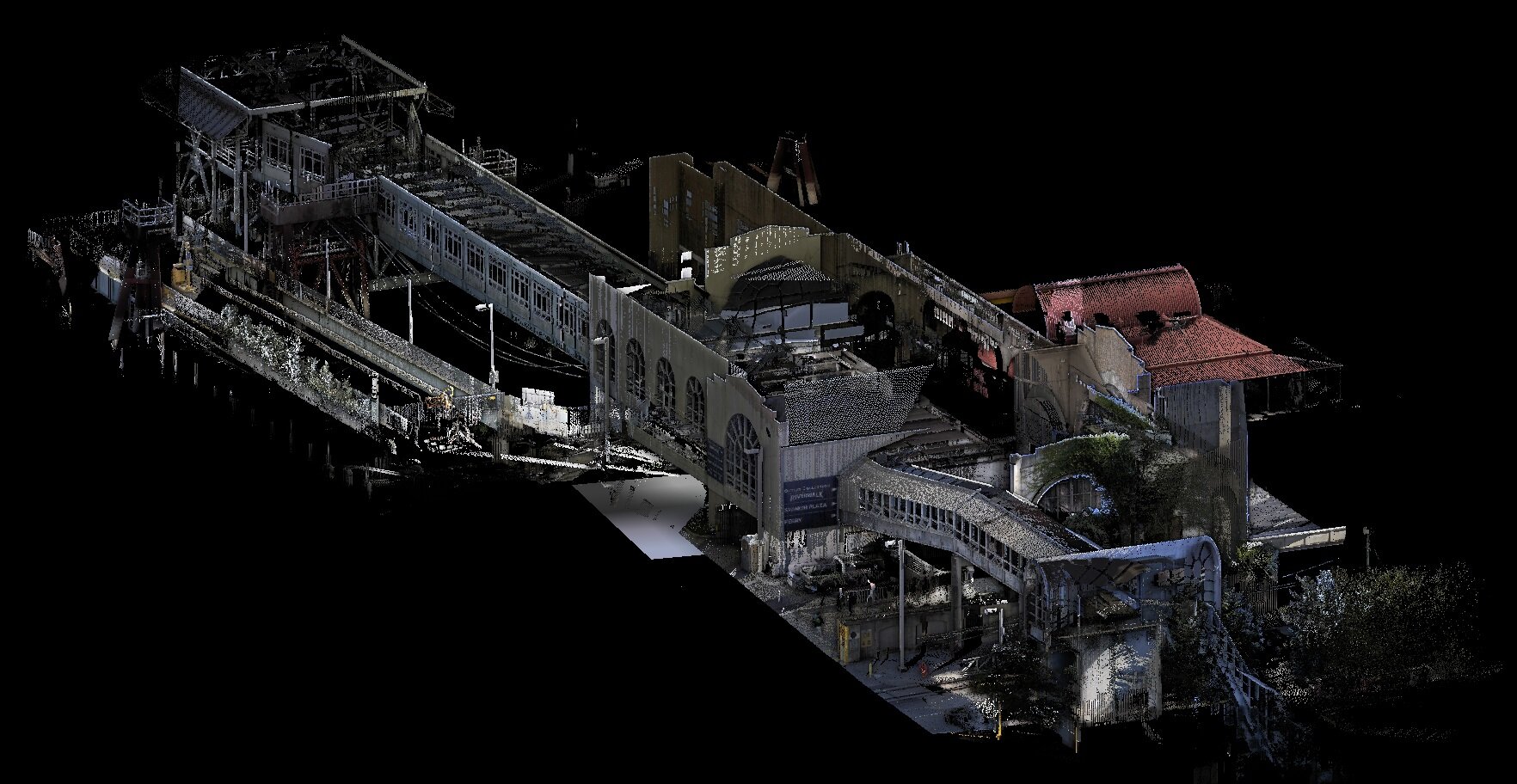
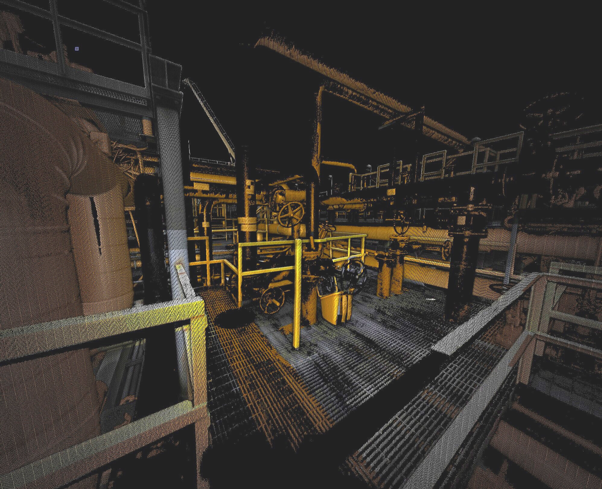
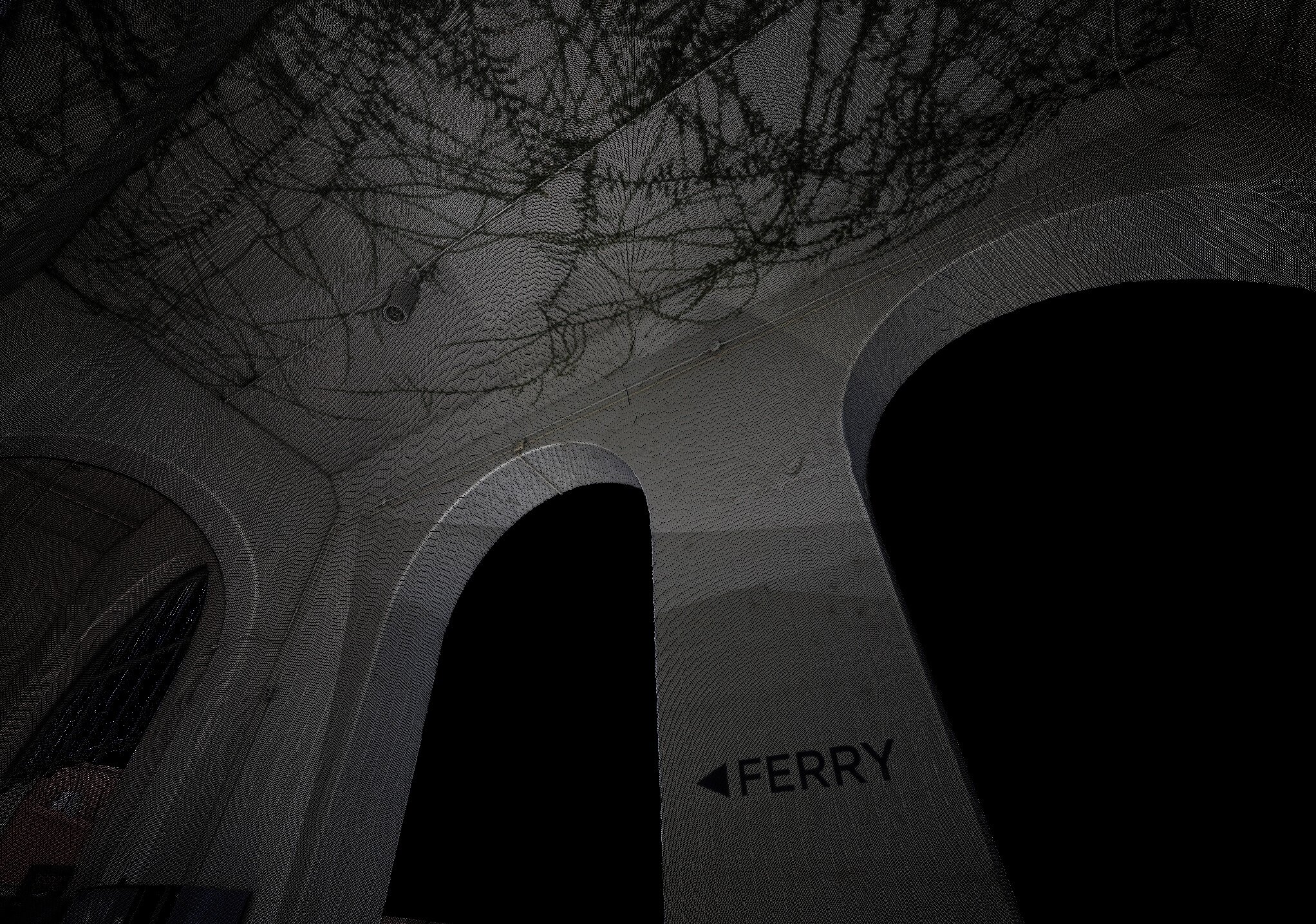
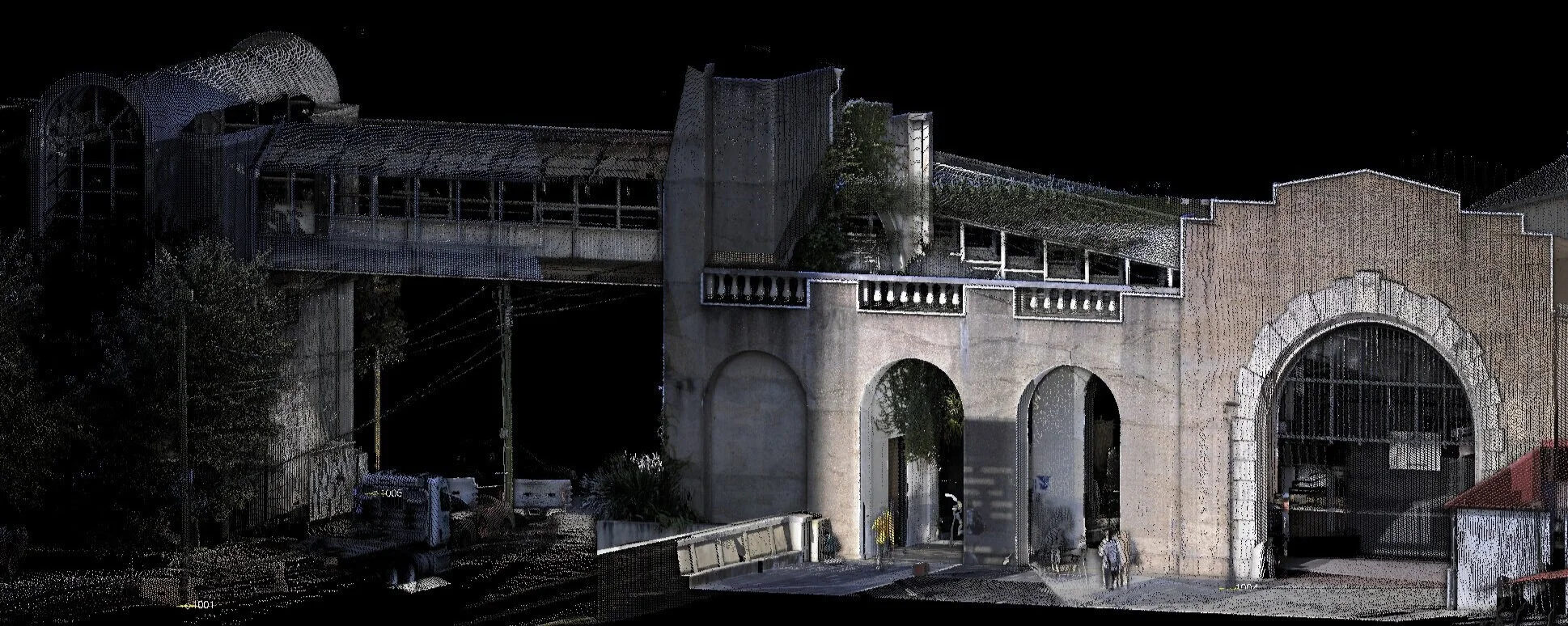
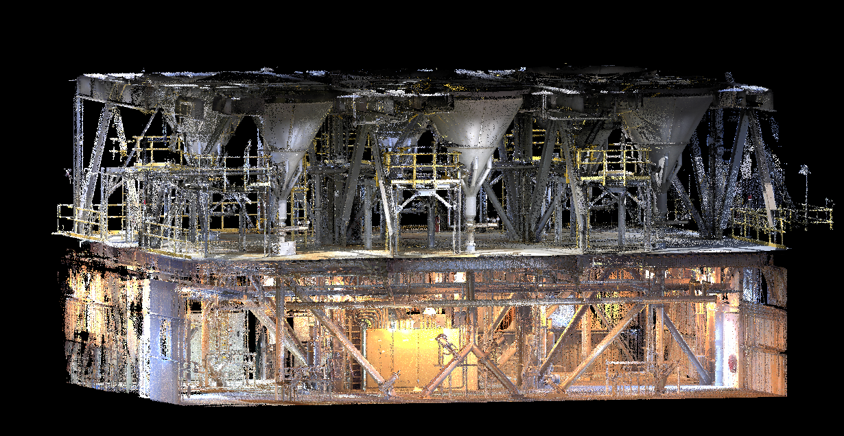
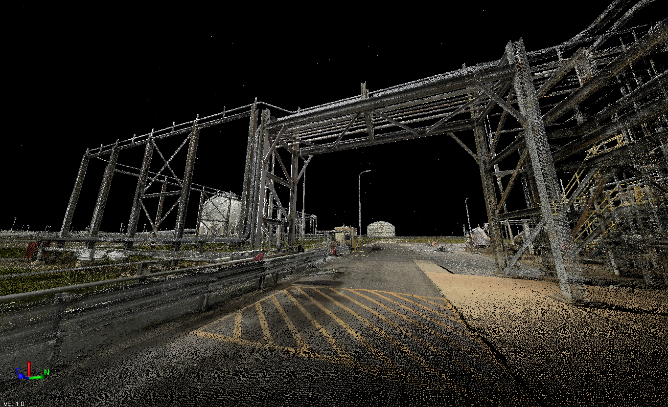
One of the most powerful methods of advanced measurements in Infinity’s repertoire is our 3D laser scanning services. With a fraction of an inch accuracy, 3D laser scanning captures “point cloud” data that traces the location, position, and shape of existing infrastructure. Infinity’s advanced measurement team ensures the company utilizes the latest and most up-to-date technology.
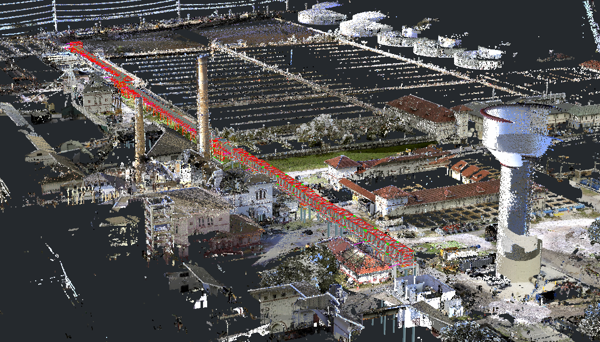
Used in conjunction with RTK survey equipment, Infinity has the ability to capture point cloud information that is fully georeferenced; producing millions of data points that are indexed with true GPS positioning to sub-centimeter accuracy. Recent software updates allow for the creation of data files significantly smaller in size which provides more versatility to the end-user. For example, our equipment indexes scan points with panoramic photographs, resulting in a point cloud that matches the color spectrum of the objects that are scanned. Site details are crisp and become visually clear.
For internal use, Infinity performs laser scanning to ensure accurate and reliable measurements during project development. All point cloud data files can be exported for use in all AutoDesk software, such as AutoCAD, Plant 3D, Civil 3D, and Revit. For those clients who wish to have the data captured for their own use, Infinity can provide raw data files, and assist in post-processing services to organize the data for ease of reference.
Laser scanning can be achieved quickly and efficiently, as a means to capture a tremendous amount of field data. A typical project might have a site area of one thousand square feet, yet can normally be fully scanned in less than a day with surfaces immediately viewable on the data collector.
Point clouds are useful for all types of projects, whether industrial, municipal, or architectural. More so, laser scanning can be invaluable for those projects where a retrofit is required, such as plant “turn-around” or architectural renovations.