Infinity Engineering is a dynamic, multi-discipline engineering consulting firm comprising of civil, structural, mechanical, and electrical capabilities, as well as advanced measurements services. This multi-discipline approach allows Infinity’s engineers to produce designs in open collaboration from project inception through completion.

Laser Scanning
Capturing over one million data points per second
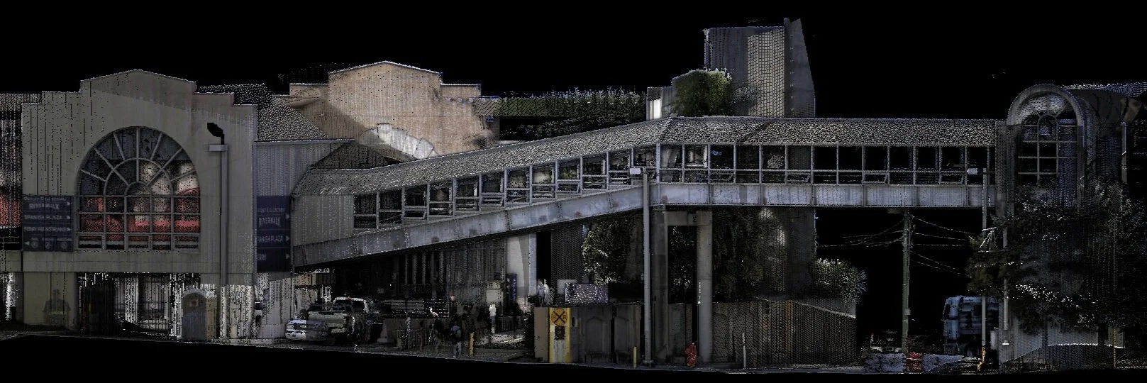
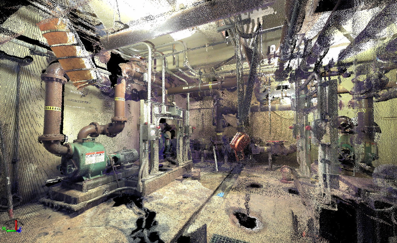
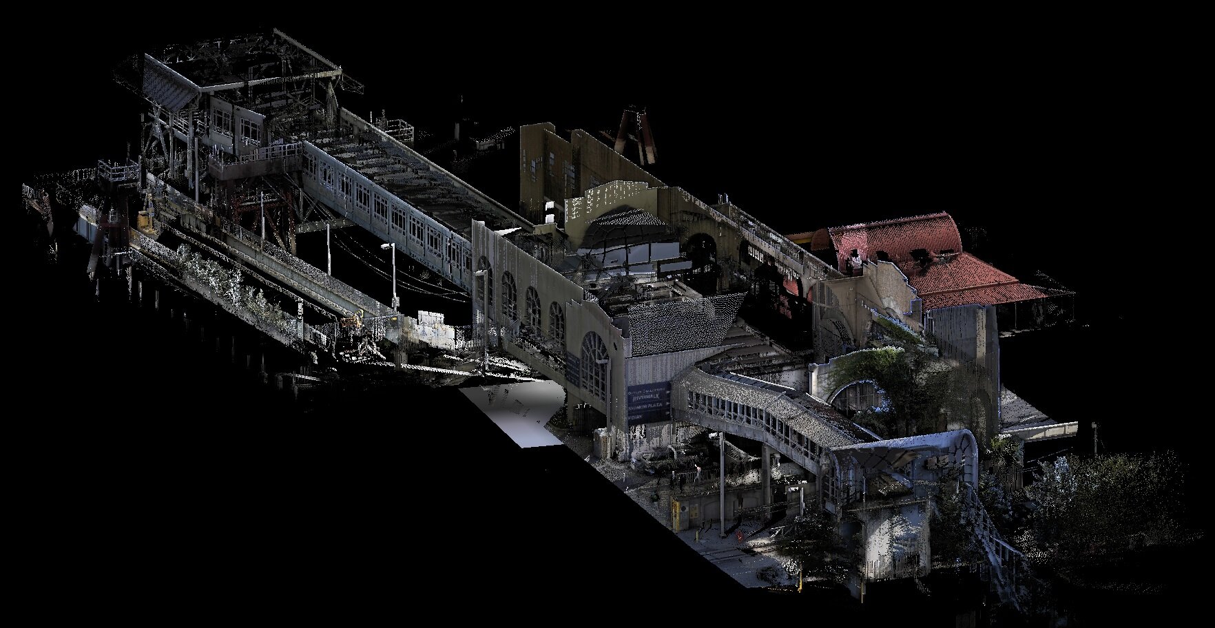
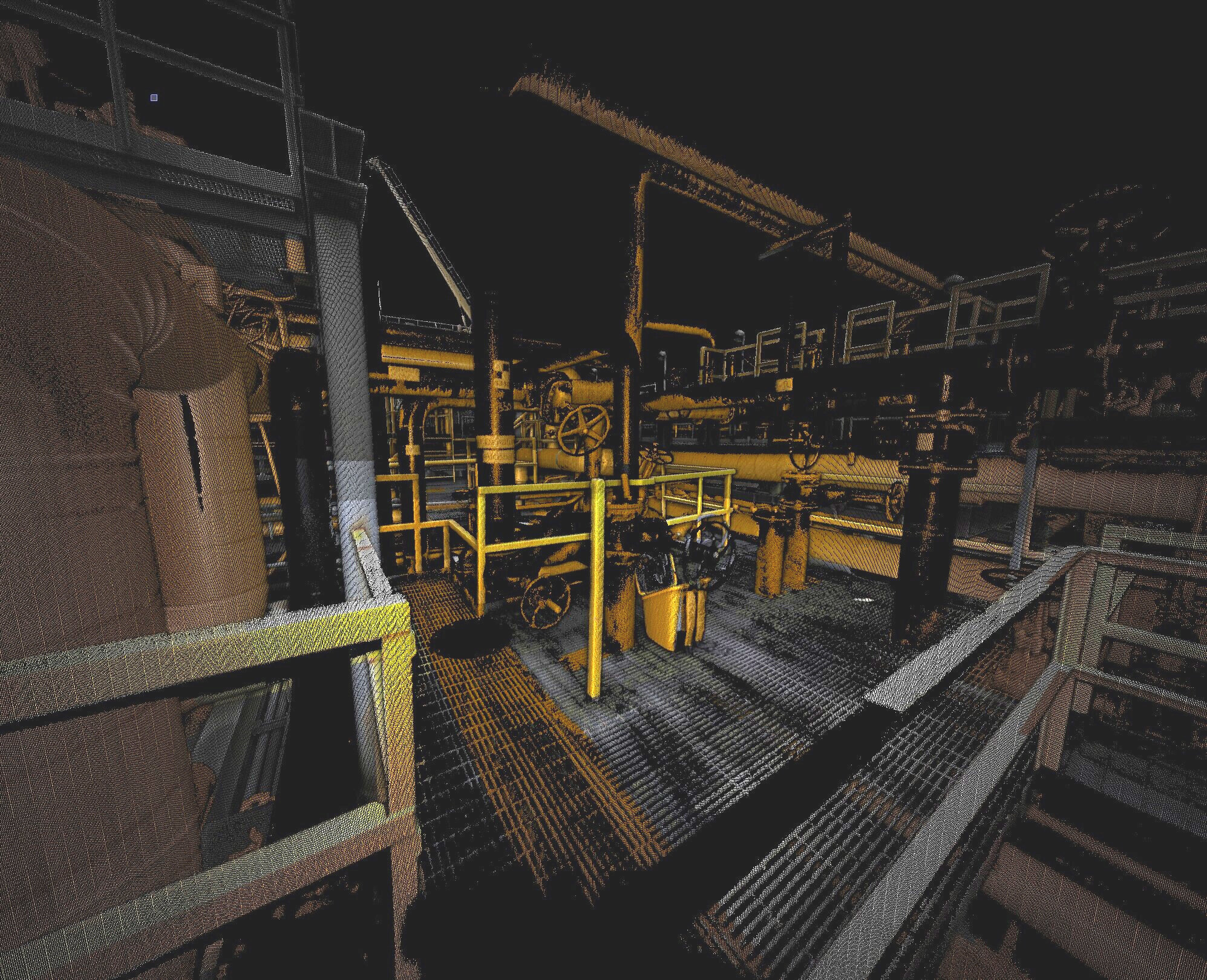
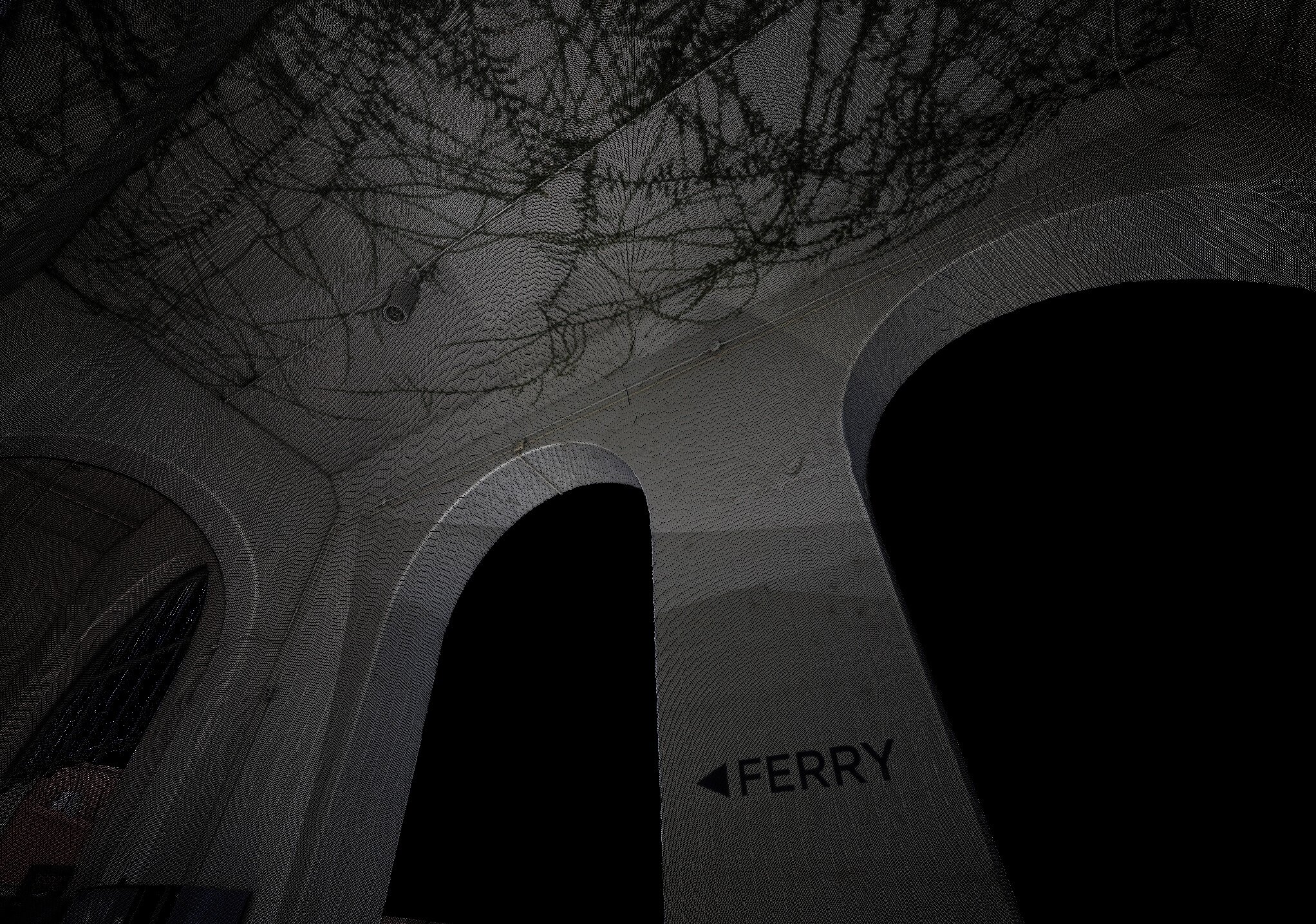
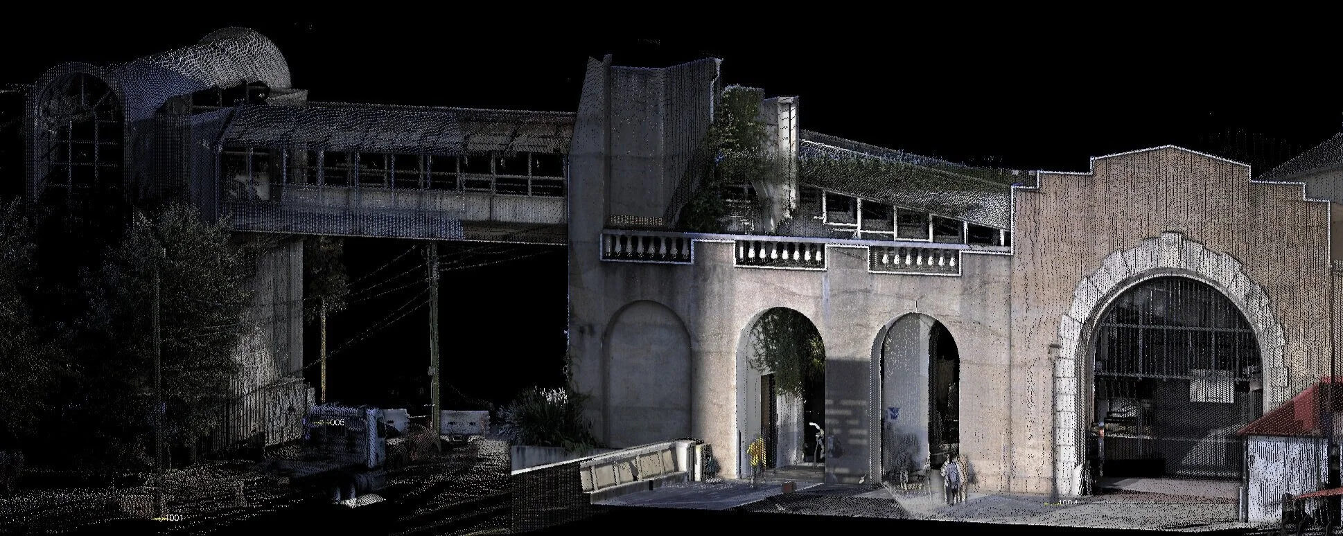
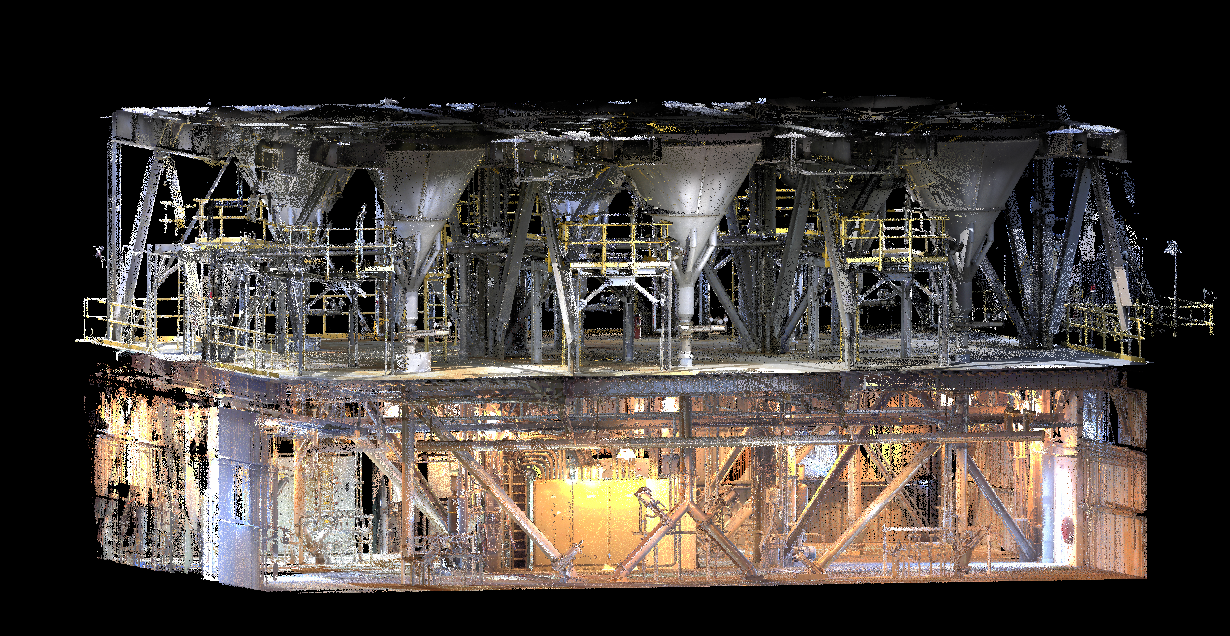
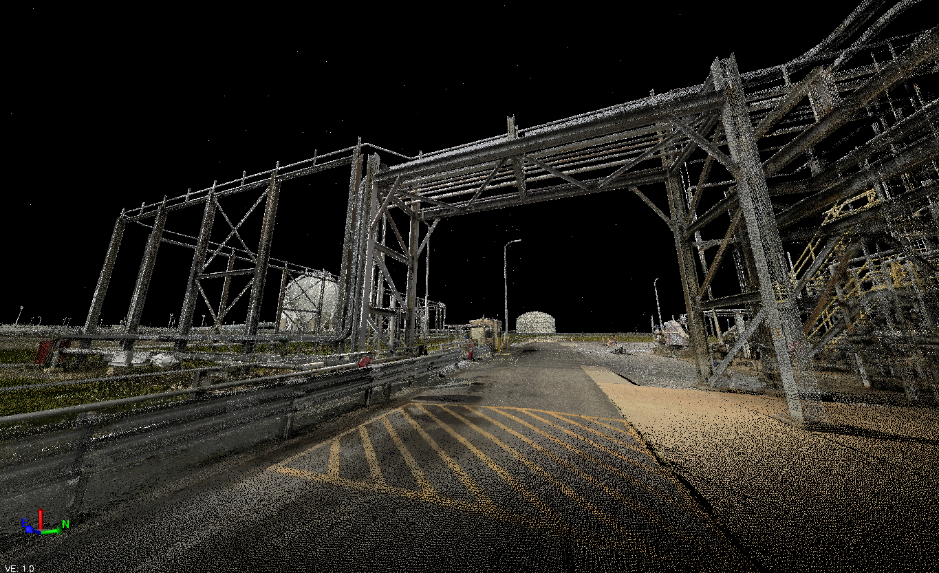
Quick and Efficient Data Collection
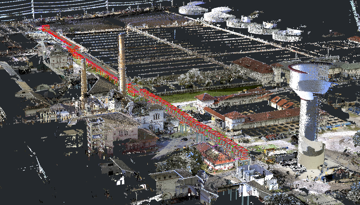
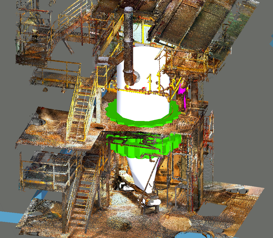
Accurate to a fraction of an inch, 3D laser scanning technology captures point cloud data that traces the location, position, and shape of existing infrastructure. Infinity's advanced measurement team keeps the firm equipped with current scanning technology and software.
Paired with RTK survey equipment, Infinity's point cloud data is fully georeferenced, producing millions of data points indexed to true GPS positioning at sub-centimeter accuracy. Scan points are also indexed with panoramic photographs, so each point cloud reflects the true color spectrum of scanned objects, resulting in crisp, visually clear site detail.
Laser scanning delivers a large volume of field data quickly and efficiently. A typical site of 1,000 square feet can usually be scanned in under a day, with results immediately viewable.
From Field Data to Final Design
Infinity relies on laser scanning internally to support accurate, reliable measurements throughout project development. Point clouds serve virtually any project type: industrial, municipal, or architectural. The technology is especially valuable for retrofit work, such as plant turnarounds or architectural renovations.
BIM & CAD Modeling: Point cloud data can be exported into any Autodesk software, including AutoCAD, Plant 3D, Civil 3D, and Revit.
Clash Detection: Compare existing conditions against design models before construction begins.
Industrial & Plant Scanning: Piping, structural steel, and equipment capture for retrofit and expansion projects.
Infinity offers post-processing services to organize data for easy reference.