Infinity Engineering is a dynamic, multi-discipline engineering consulting firm comprising of civil, structural, mechanical, and electrical capabilities, as well as advanced measurements services. This multi-discipline approach allows Infinity’s engineers to produce designs in open collaboration from project inception through completion.

Drone Services
Record Any Angle from Anywhere
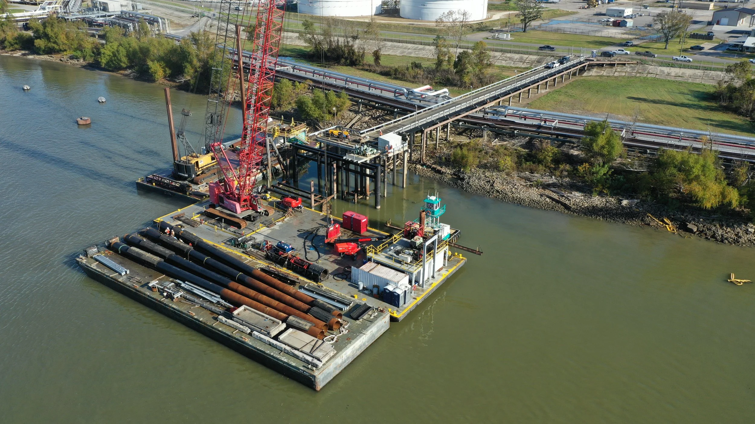
High-Resolution Site Photos & 4K Video
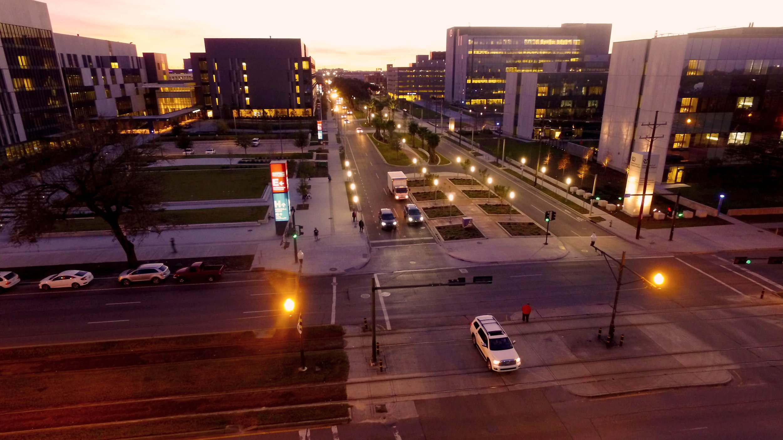
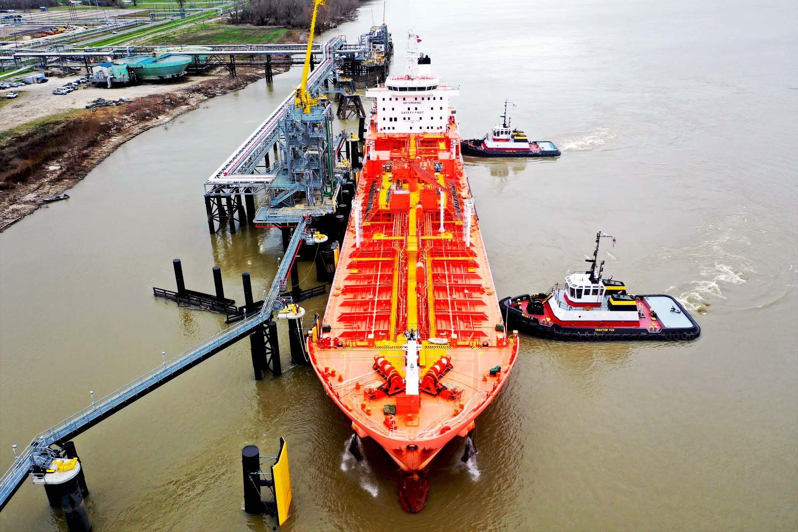
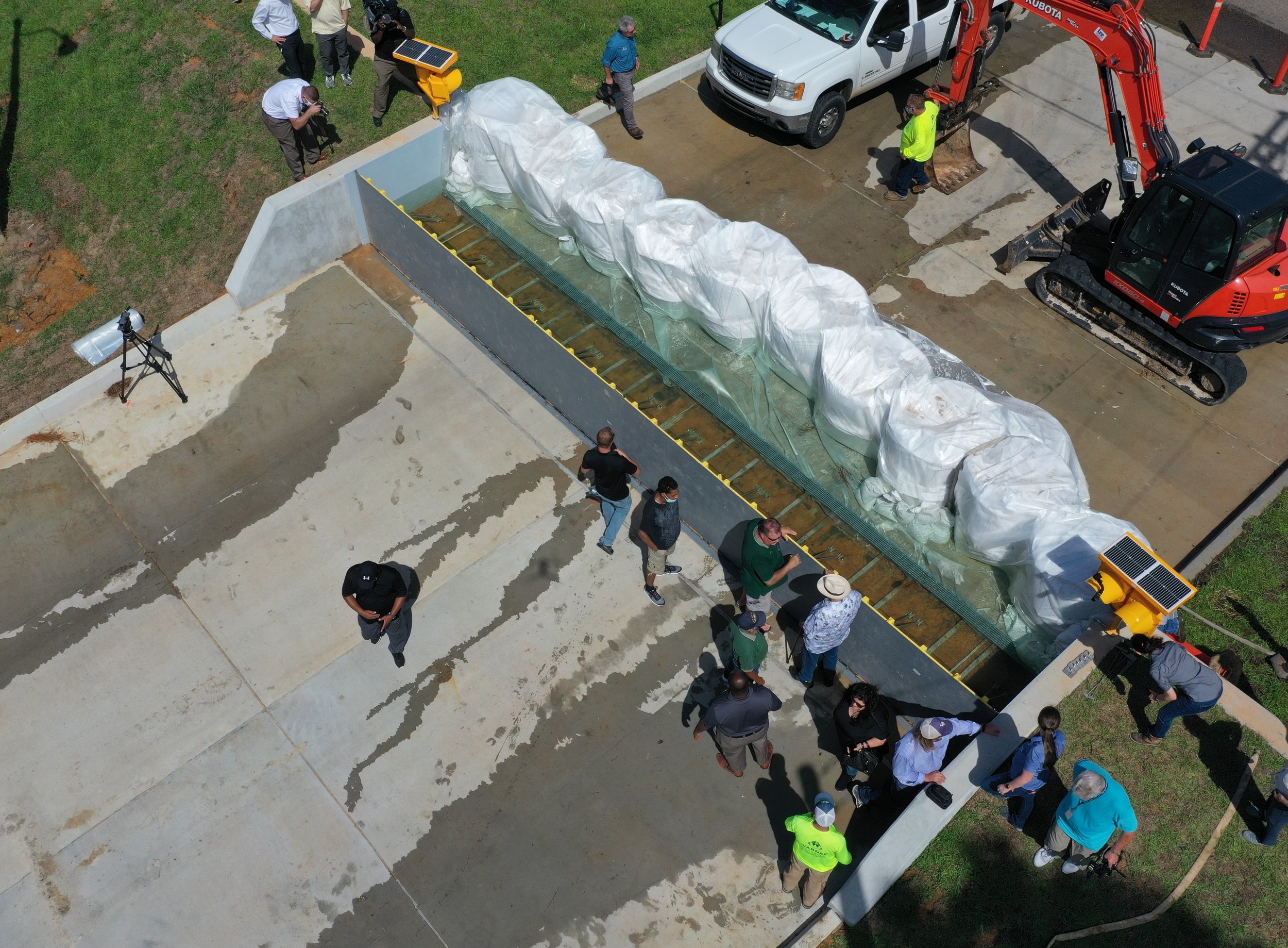
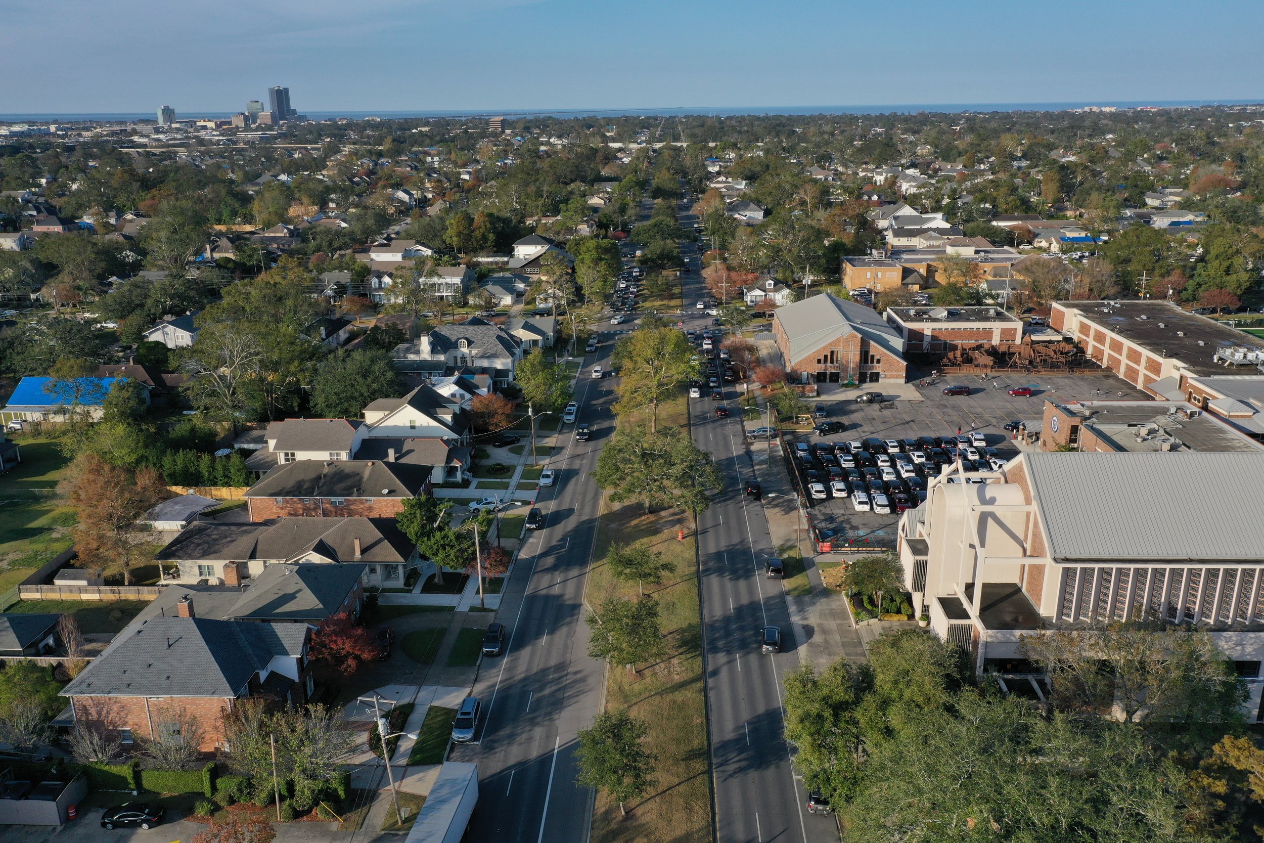
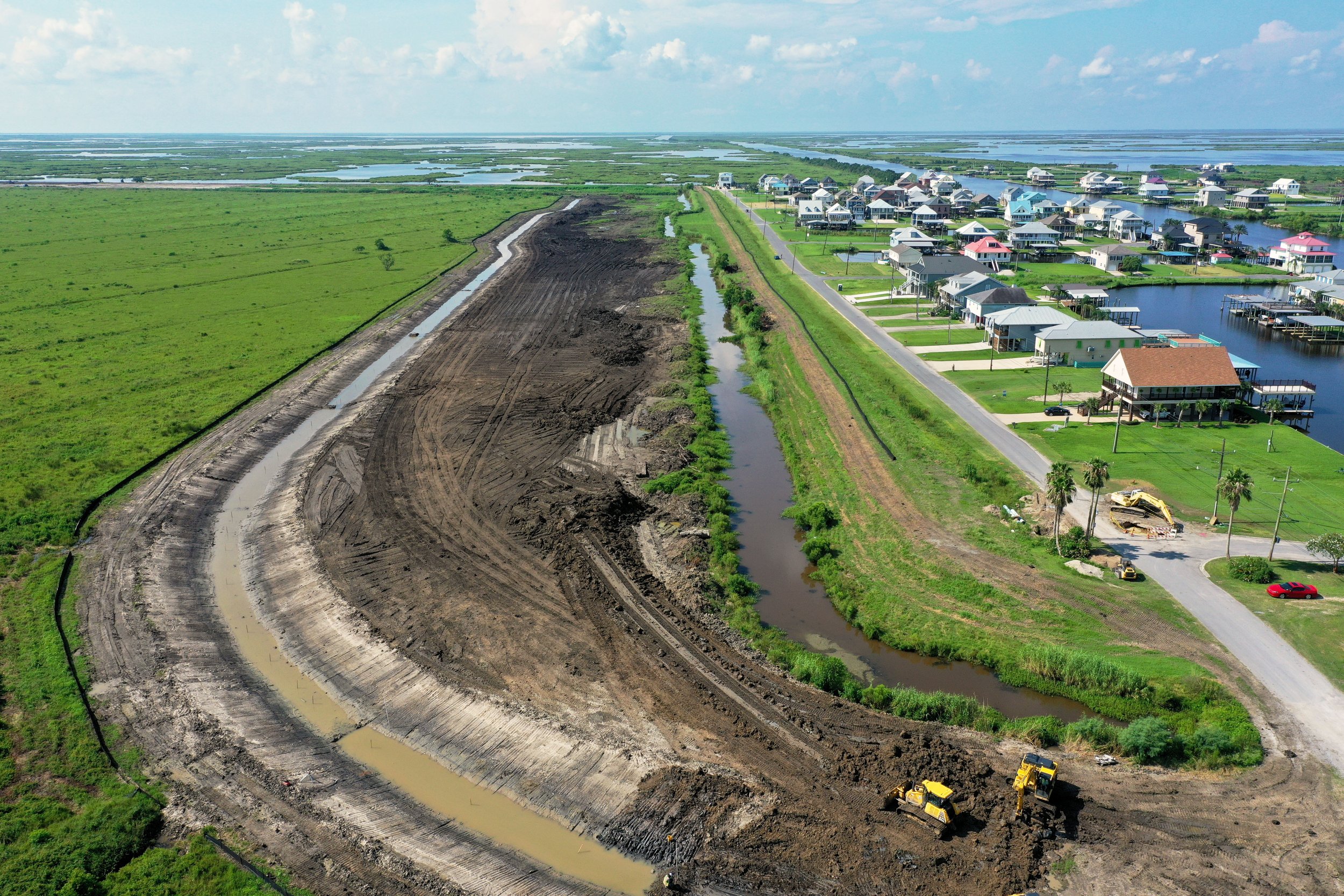
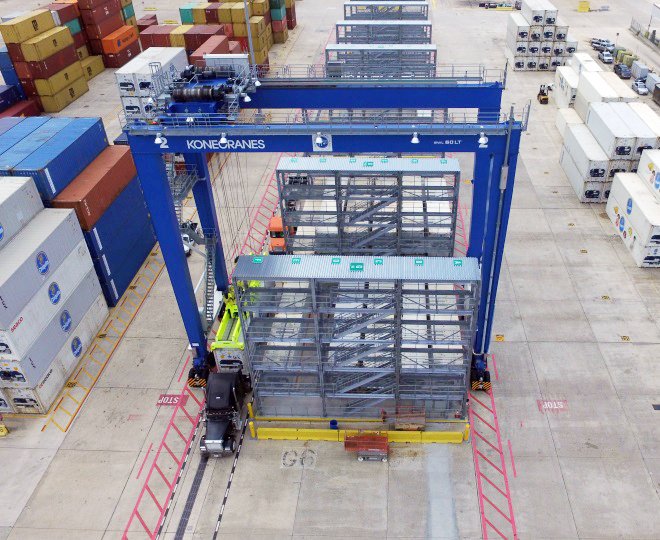
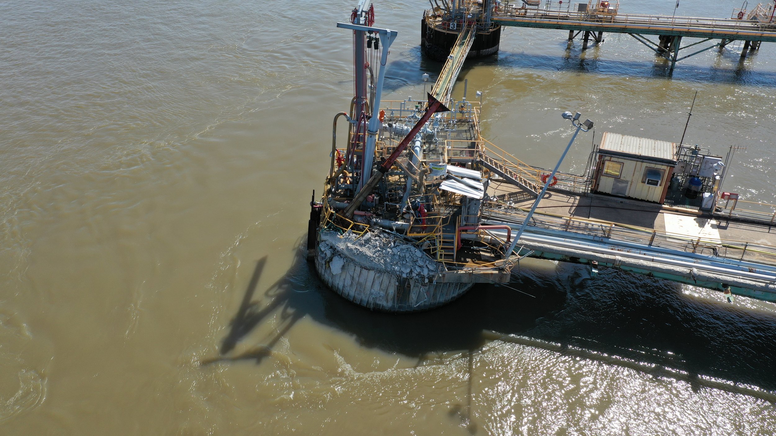
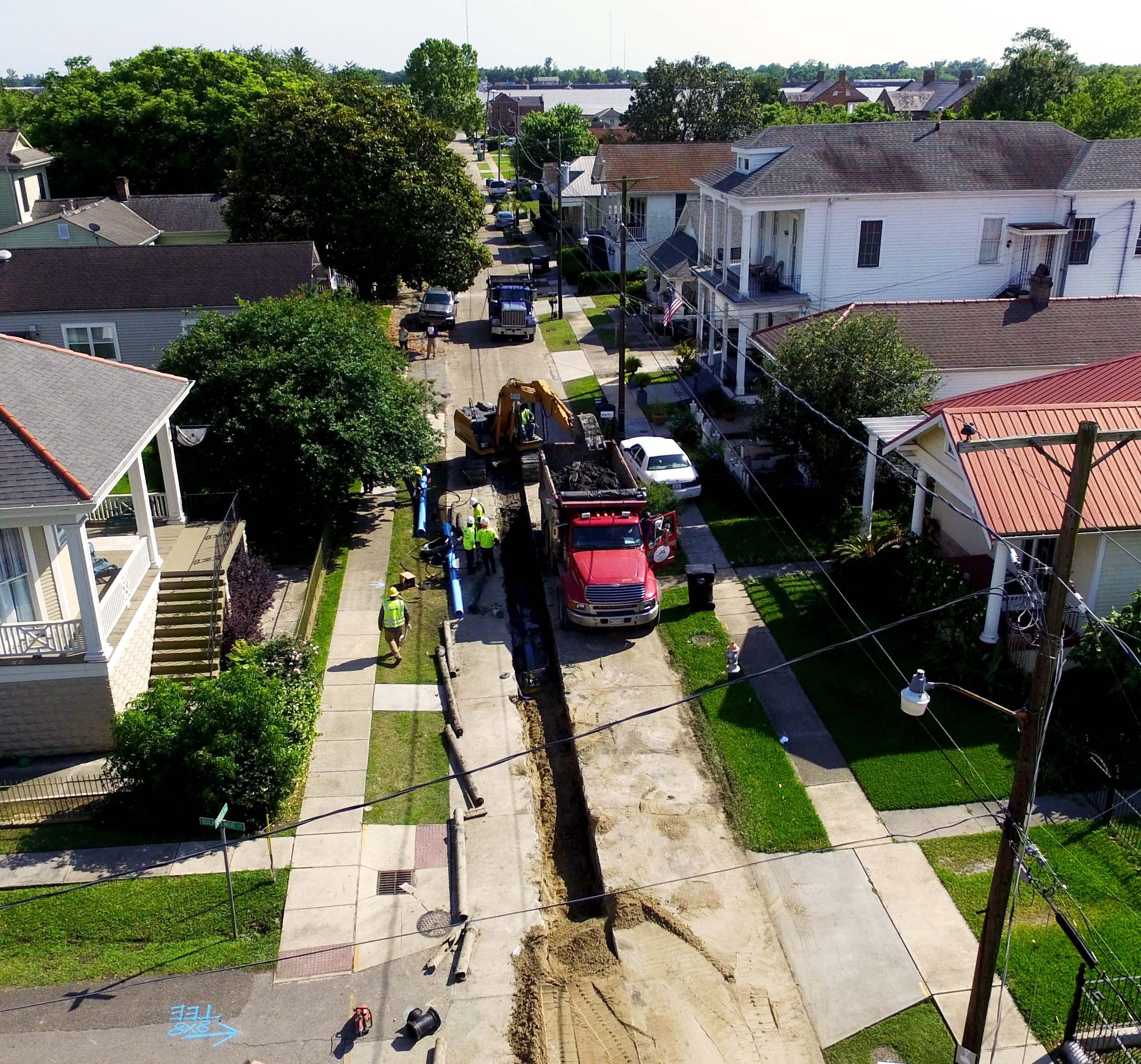
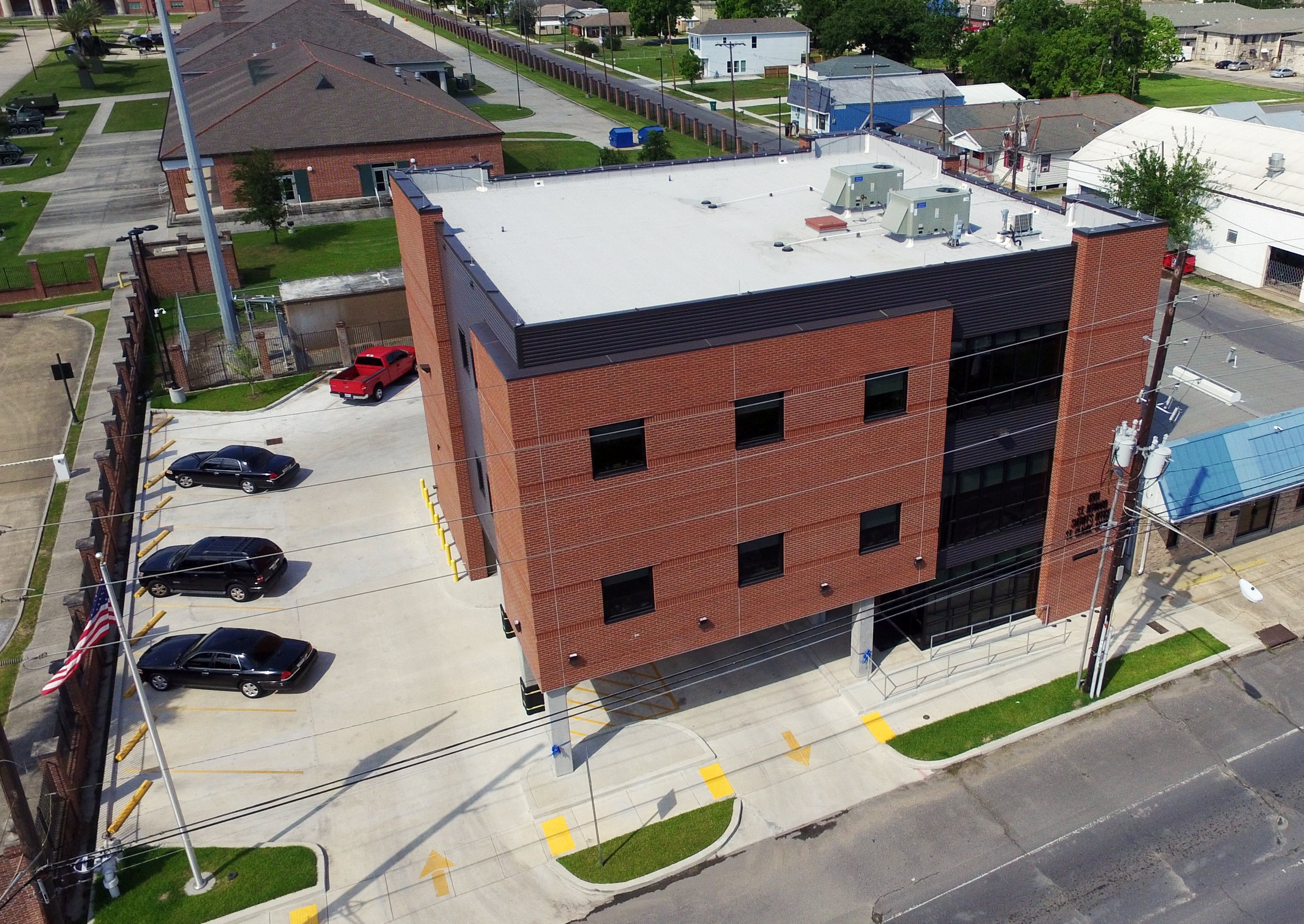
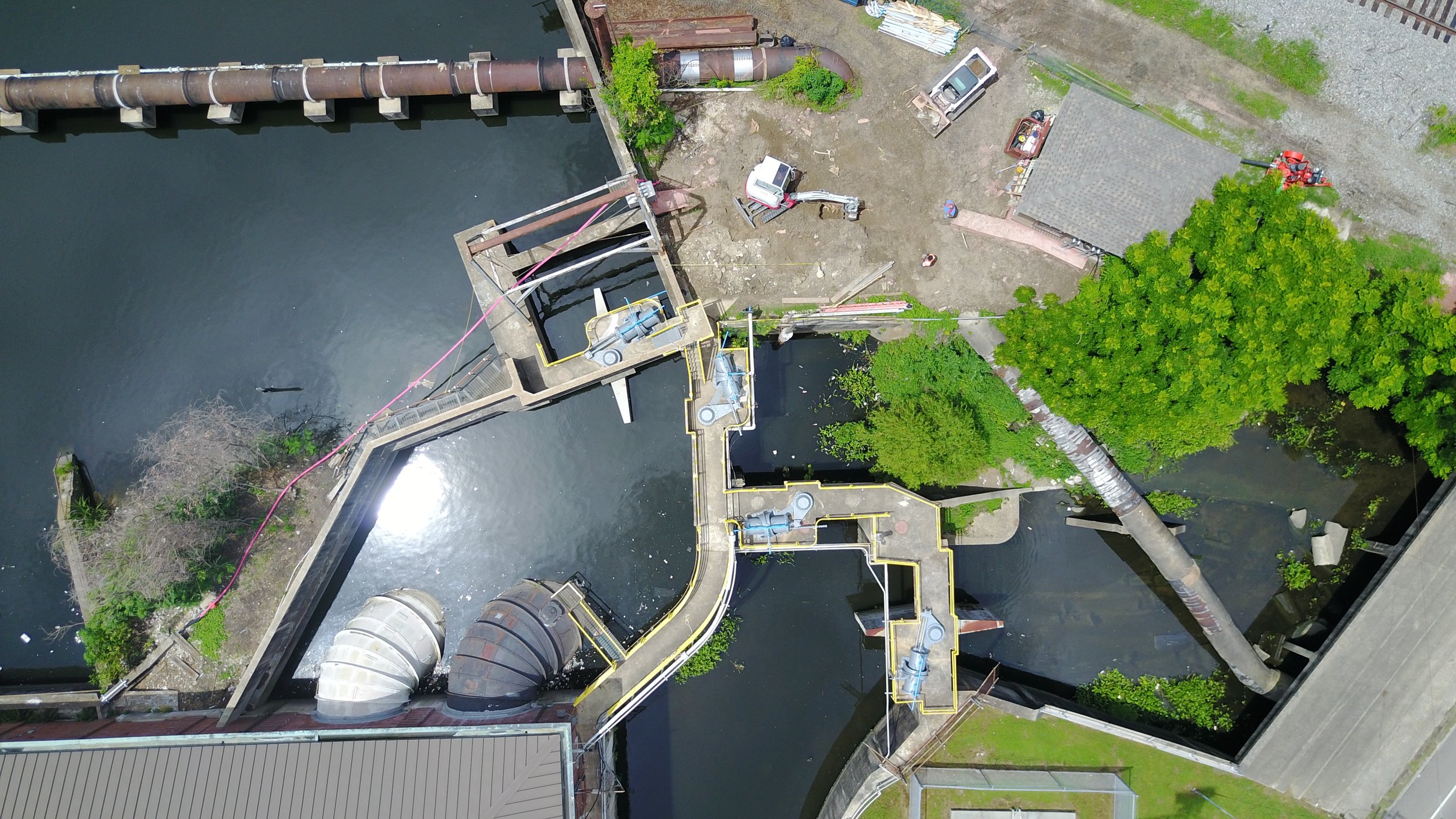
Clients often need visual inspection of sites that are difficult or unsafe to access. Infinity's aerial drone services allow our team to view and document projects from multiple angles, without the cost or safety risks of heavy equipment or personnel access. Whether inspecting a power distribution system or documenting a marine structure allision, Infinity can collect the necessary imagery efficiently and safely.
Photogrammetry & Orthomosaic Mapping
Aerial drones are also used for photogrammetry and orthomosaic mapping when general topographic information is needed over large areas. Using a structured grid of photographs captured along pre-defined flight paths, drones collect overlapping "stereo" imagery. Specialized software then processes this imagery to extrapolate vertical elevation and horizontal dimensions. When combined with control points established by RTK survey equipment, the resulting imagery is fully georeferenced for accurate real-world coordinates and GPS positioning, and can be exported into AutoCAD, Plant 3D, or Civil 3D.
Infinity's drone program meets all relevant regulatory and insurance requirements:
Multiple FAA Part 107 certified drone pilots on staff
Full insurance coverage for remotely piloted unmanned aircraft operations

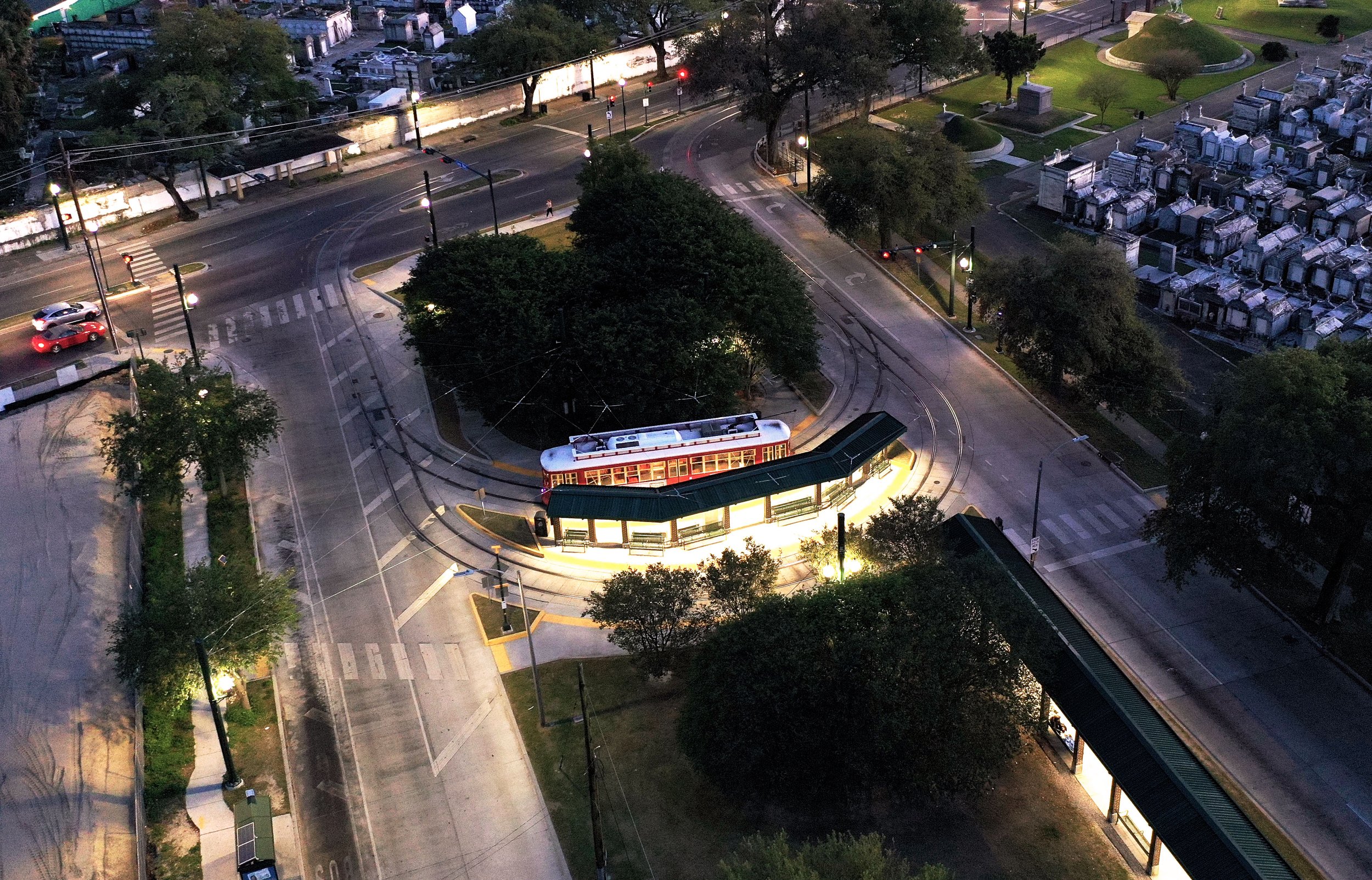
Canal Street/City Park Avenue Streetcar Track Installation - New Orleans, LA