Infinity Engineering is a dynamic, multi-discipline engineering consulting firm comprising of civil, structural, mechanical, and electrical capabilities, as well as advanced measurements services. This multi-discipline approach allows Infinity’s engineers to produce designs in open collaboration from project inception through completion.

Hydro Survey
Precision bathymetric data for the parts of your site you can't see
Mapping the Surface Below
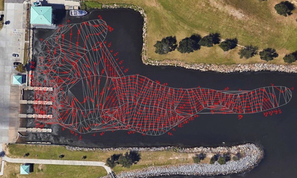
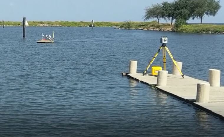
Within Infinity's advanced measurements toolbox, the firm operates remotely controlled equipment to perform hydro survey services on project sites. This equipment measures bathymetry, the mapping of water bottom elevations and contours.
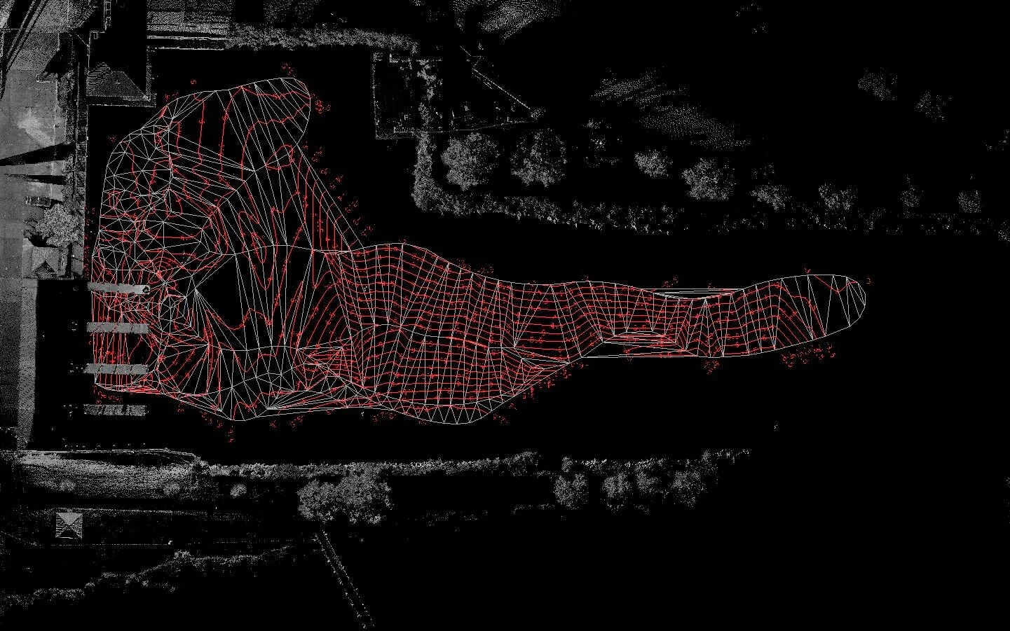
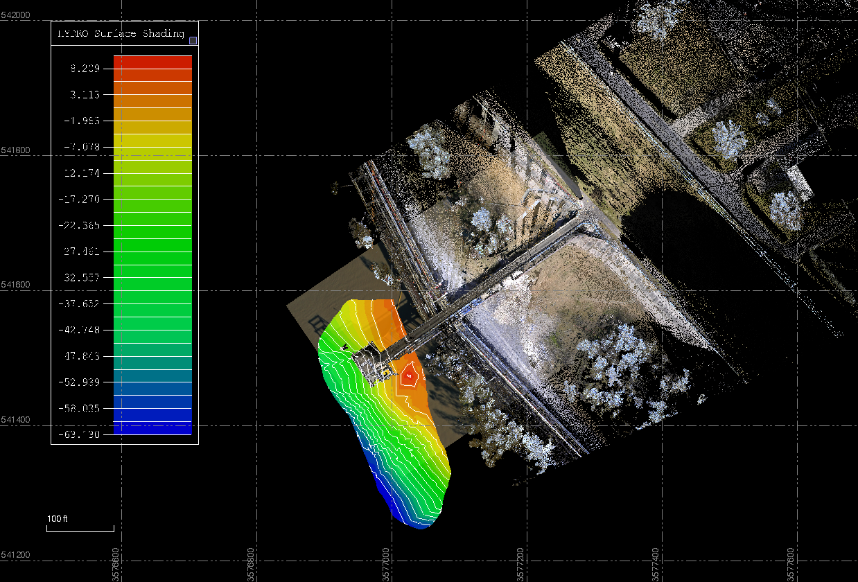
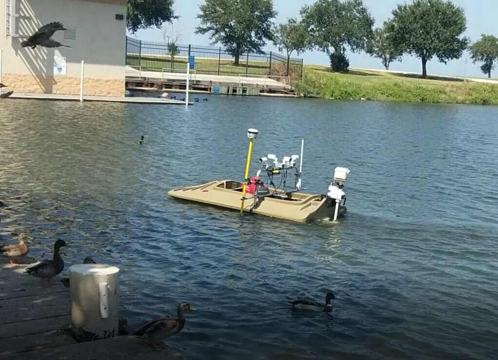
Infinity's hydro survey system pairs an RTK rover with a transducer/fathometer, providing accurate, georeferenced readings of water bottom elevations. Collected data can be exported as a point file to generate:
Contour lines for harbor plans
3D mesh models for volume calculations
Infinity's hydro survey equipment offers distinct advantages:
Remotely controlled and unmanned operation
A small, compact drone boat that mobilizes quickly in practically any body of water, without the need for a launch or ramp
Elimination of personnel risk, since operators do not need to enter the water or work from a boat
When combined with Infinity's laser scanning capabilities, hydro survey data allows the firm to provide clients with a fully integrated GPS map of a site, both above and below the waterline.