Infinity Engineering is a dynamic, multi-discipline engineering consulting firm comprising of civil, structural, mechanical, and electrical capabilities, as well as advanced measurements services. This multi-discipline approach allows Infinity’s engineers to produce designs in open collaboration from project inception through completion.

ADVANCED MEASUREMENTS
Modern Spatial Mapping
Precision mapping for complex environments. Millimeter-accurate data for smarter engineering.

Aerial LiDAR utilizes laser pulses to precisely measure distances to the Earth's surface, generating highly accurate 3D representations of terrain and above-ground features.
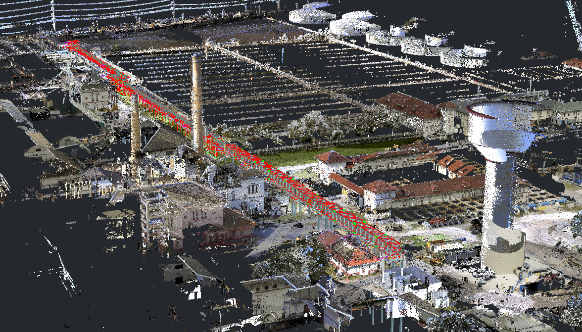
Accurate to a fraction of an inch, 3D laser scanning captures detailed point cloud data that precisely documents the location, position, and shape of existing infrastructure.
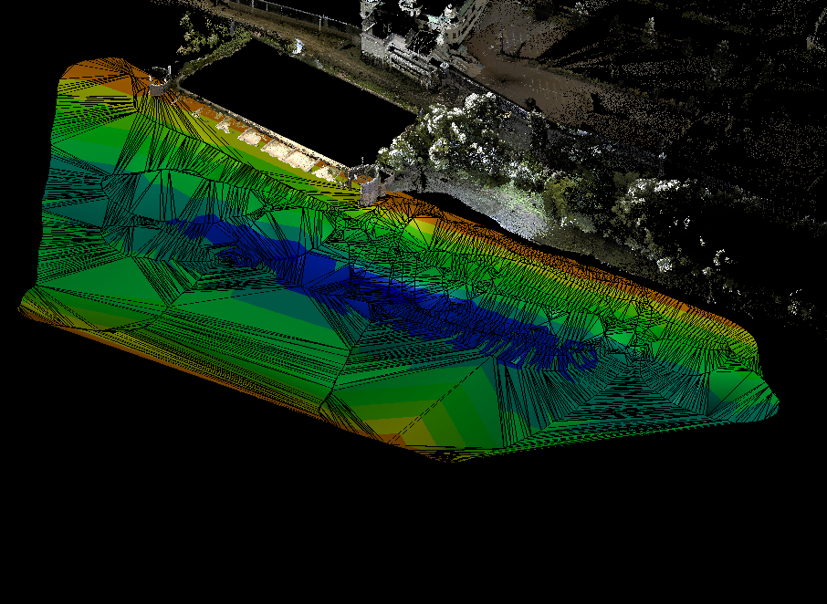
Remotely operated and fully georeferenced, Infinity's hydro survey systems capture precise water bottom elevation and contour data.

Aerial drones can capture high-resolution imagery for photogrammetry and orthomosaic mapping, delivering accurate topographic data over large geographic areas.